
Drones are famous for their agility, speed, excellent acceleration and manoeuvrability. They are adept at providing smooth and stable flights for aerial views, surveying and photography.
In engineering, drones are becoming popular as they improve efficiency and minimise the risks and costs of specific tasks.
These tasks are as follows:
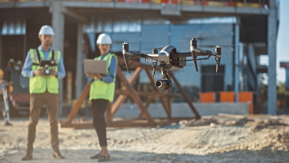
- Project Surveillance – Construction engineers use drones to gather real-time data about projects. They can gather accurate information without being physically present on site. Aerial insights help improve progress tracking, detect problems before they become costly, and add weeks to a project’s timeline.

Drones offer advantages in project surveillance - Project Planning – Getting a brief idea of the land is a vital planning phase in construction projects. Surveying is done by drones using two methods – photogrammetry and LiDAR surveys. The drone-based surveys generate 3D models of the surface and terrain. It can aid civil engineers in site location. It can also be used as a basis for volume and distance calculations. An accurate 3D model is also an essential component of the building information modelling (BIM) process, which is a reliable model for information in construction planning.
- Hazardous or hard-to-reach sites – Civil engineers use drones to cover areas where it is difficult for humans to reach. They can monitor hazardous work sites, like hydropower dams, highways and other construction sites.
- Non-Destructive Testing – Drones can fly inside the equipment structures and execute visual inspections or Non-Destructive Testing, eliminating the need for confined spray entry. The drone can even test the combination of the hazardous compounds.
- Inspection of grid stations and pylons – Electrical engineers can inspect pylons and grid stations at heights difficult for a human to access. Thus, engineers can detect and repair any power outage on towers or overhead faults over the high-tension power lines.
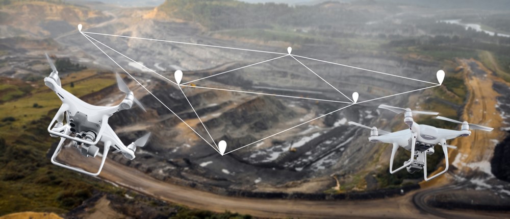
Drone can seamlessly conduct land surveys - Detailed 3D models – Drones can be used to survey and generate 3D high-resolution models of sites where no data or low-quality data is available. Thus, high-accuracy cadastral maps are produced rapidly and easily, even in complex or challenging terrain.
- Inspection of existing infrastructure – Inspecting an infrastructure such as a skyscraper, bridge, or tunnel can be a complex, rigorous and hazardous task. Inspection crews can be time-consuming and unreliable if required to walk the stretch of the mega structures. Drones can easily access these areas without compromising safety and health issues for any human. The drone footage is reliable and well documented.
- Renewable Energy Sector – The engineers in the renewable energy sector use drones to monitor solar PV harms or wind farms, widespread across acres of land.
- Drones with Cloud-based features and Predictive AI – Drone with cloud-based features and AI present the future. The inspection photos taken by the drone can be synced to a cloud server which can be further fed into a complex algorithm supported by top-of-the-line processing power. This analysis can be downloaded, and the AI can develop predictive functions for identifying potential defects and repair.
Drone can carry out infrastructure inspection - Drones are helpful technological advancements whose applications have changed how things are done across the engineering industry.

OmDayal Group of Institutions: Maintaining Excellence in Education
The OmDayal Group of Institutions was established in 2010 with a vision to prepare progressive architects and engineers. The college offers engineering and architecture courses affiliated with MAKAUT (Maulana Abul Kalam Azad University of Technology). It is accredited by NAAC, and the Architecture and Engineering courses are approved by AICTE and COA. The students have a strong foundation, a robust learning environment, and experienced faculty. The Institute also offers Vocational Diploma courses and is affiliated with the West Bengal State Council of Technical and Vocational Education and Skill Development. It also offers flexible timing and on-job-training in partnership with the National Small Industries Corporation (NSIC), Govt. of India Enterprise, to facilitate better placements. A leading college in West Bengal, OmDayal Group of Institutions, holistically prepares its students as future professionals.
For more information, visit: https://omdayal.com
Disclaimer:
Om Dayal Group of Institutions blog posts have been written with the information gathered from approved articles and websites online. Our research and technical team strive to provide relevant information through such articles.
References: