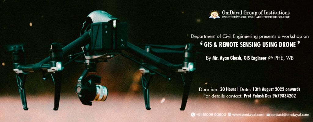
In Recent days GIS & Remote Sensing using Drone is most useful for Civil Engineering aspect. GIS and remote sensing techniques play a crucial role and serves as a complete platform in every aspect of civil engineering. Geographic information system (GIS) technology provides the tools for creating, managing, analyzing, and visualizing the data associated with developing and managing infrastructure. Drones as a tools that increase communication between construction participants, improves site safety, uses topographic measurements of large areas, with using principles of aerial photogrammetry is possible to create buildings aerial surveying, bridges, roads, highways, saves project time and costs.
